Utility Coordination and Subsurface Utility Engineering (SUE)
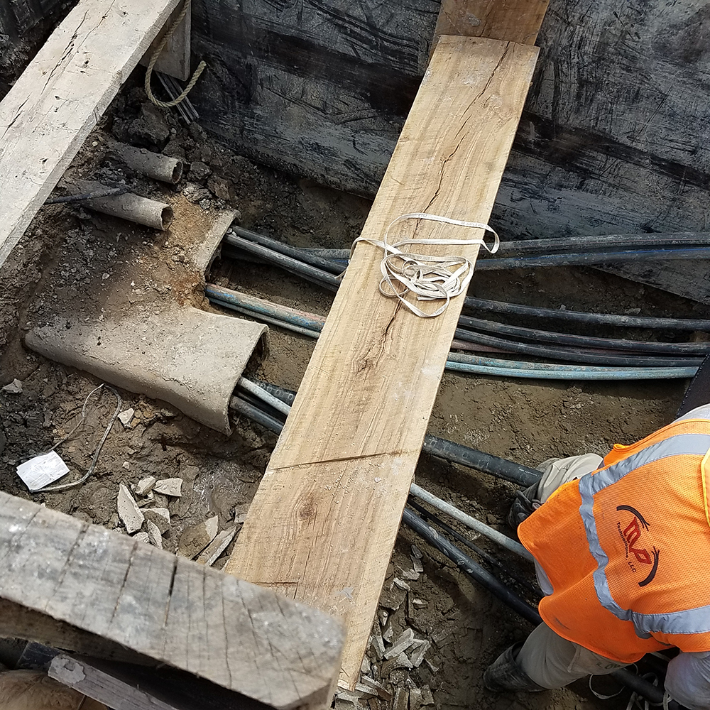
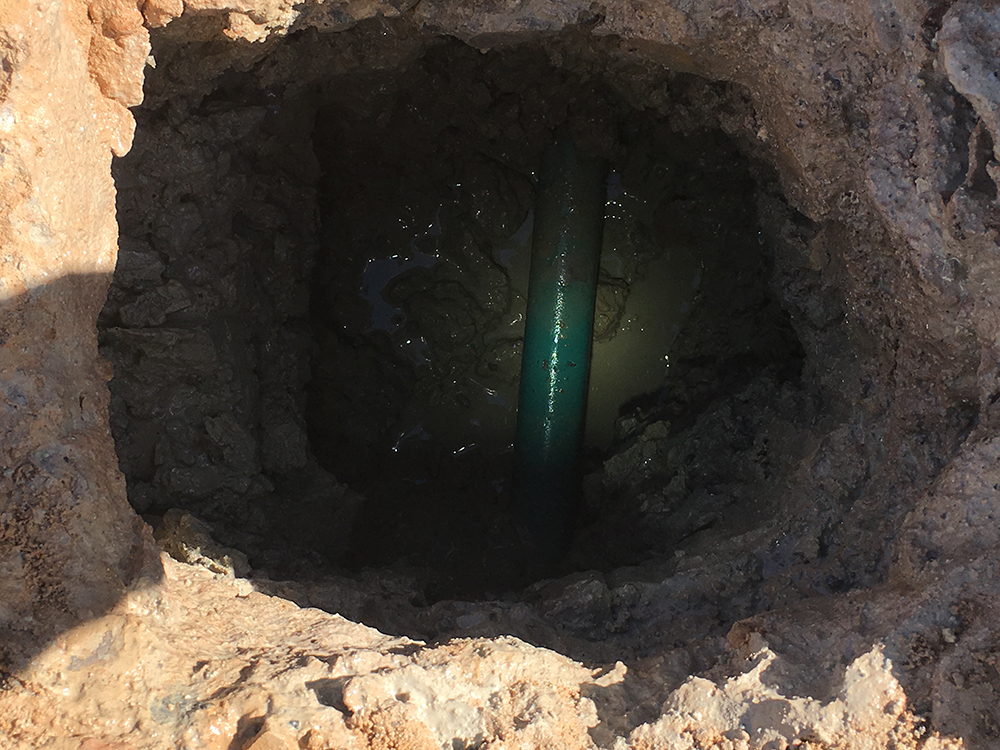
A 12-mile-long project that involved utility coordination and level D-A SUE, it began with records research (SUE Level D), field investigations (SUE Level C) and coordination efforts with all identified utilities within the area. We then used our in-house locators on “tonable” facilities including pipelines, natural gas distribution lines, telecommunications duct banks and buried cables, and requested traffic signal components. Additionally, we developed a Utility Conflict List, off which a Level A SUE plan was developed to determine the existence or clearance of each potential conflict. Around 100 test holes were used to get exact locations of utilities at the potential conflict locations. This gave the design team precise information for clearance and potential installation windows. Additional coordination efforts were performed off-site for seven detention pond locations.
- Utility records and field research
- Over 100 test holes performed
- Utility Conflict List creation


Services
- Coordination
- Records Research
- Conflict Assessment
- SUE